A New Map of the River Thames from Thames Head to London, Fifth Edition


Bound volume
A New Map of the River Thames from Thames Head to London, Fifth Edition
1886
Bound volume with Woodburytypes
Overall (closed): 7 3/8 × 4 15/16 × 1 3/8 in. (18.8 × 12.5 × 3.5 cm)
Gift of Alden Scott Boyer
1950.0006.0003
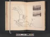
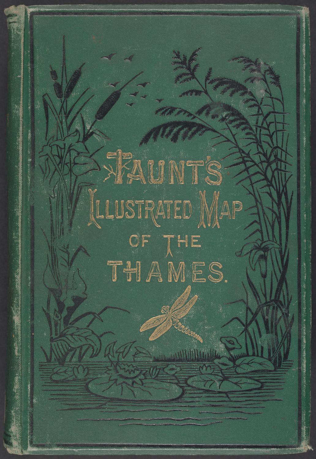
DescriptionPhotographically illustrated book containing albumen silver prints tipped in along maps of the River Thames. Published by Taunt & Co./Simpkin, Marshall & Co. Cover is green with debossed gold lettering and debossed gold and black illustrations.
Inscriptions Debossed in gold on spine, T: TAUNT'S \ ILLUSTRATED \ MAP \ OF THE THAMES
Debossed in gold on the front cover, C: TAUNT'S \ ILLUSTRATED MAP \ OF THE \ THAMES.
Stamped in black inside front cover, C: ALDEN SCOTT \ BOYER \ COLLECTION
Inscribed in black ink on fly leaf, C: HG Barber \ The [illegible] \ Maidenhead
Inscribed in pencil inside back cover (Boyer's hand), T: Vinall–England– 7/1948 \ O II Σ R \ Boyer
VariantVariant